|
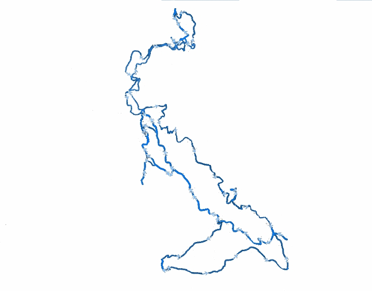 |
| The GPS track edited out from the image I had where it was laid over a satellite image. |
| Total images: 11 | Last update: 5/18/09 8:57 PM | Help |
|
|
|
| The GPS track edited out from the image I had where it was laid over a satellite image. |
| Total images: 11 | Last update: 5/18/09 8:57 PM | Help |